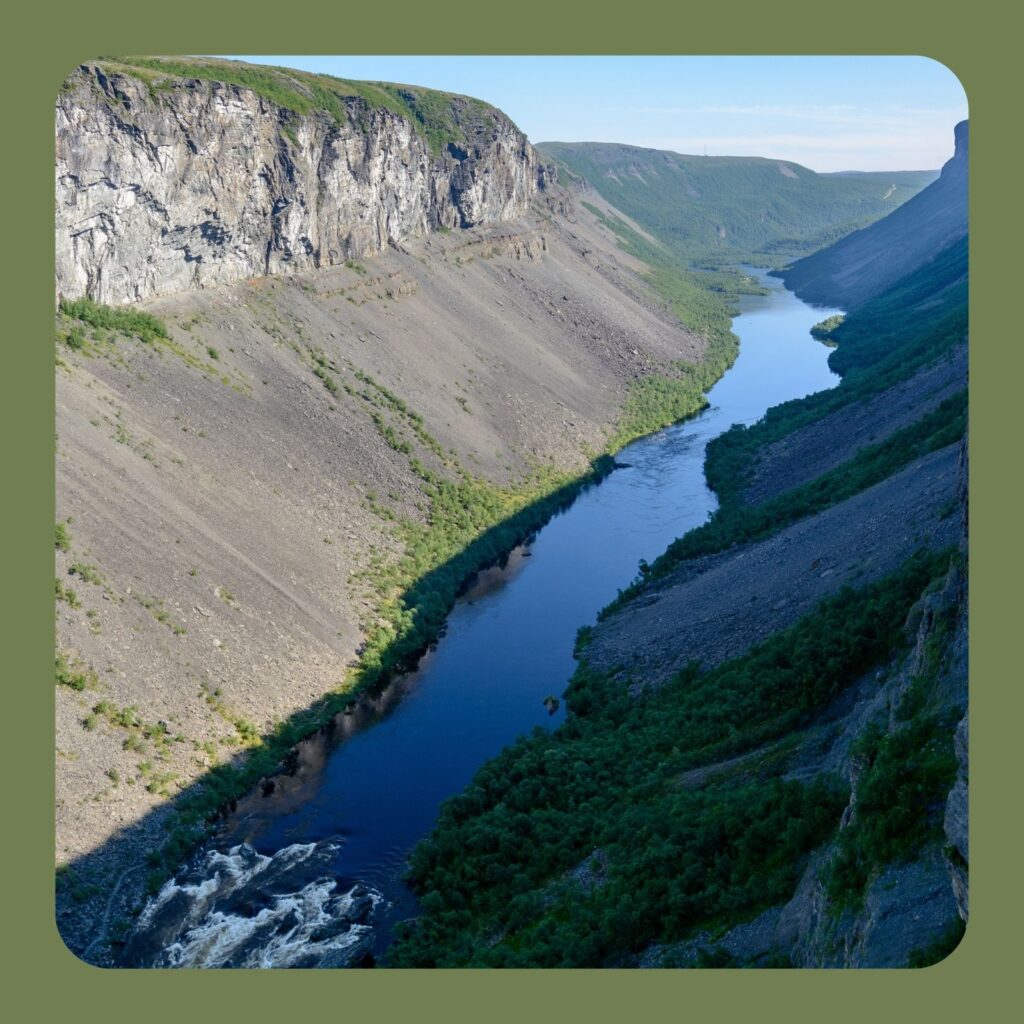
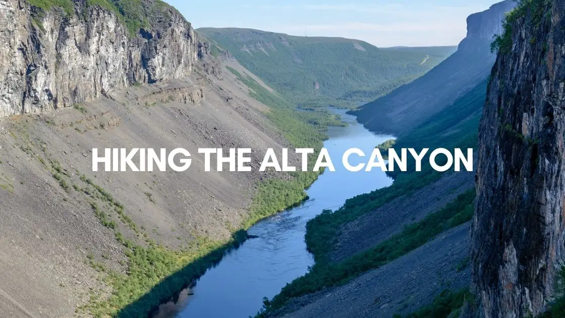
Alta, Norway, offers a variety of activities in every season. One of these is a hike to the Alta Canyon – a.k.a. Sautso, as locals call it.
Alta Canyon Norway Hiking Trail Info
- Trail Length: 6.5 km one way (13 km in total)
- Trail elevation gain: 200 m
- Required time: 4 -6 hours
- Alta Canyon highest point: 420 m
- Difficulty: Easy / Medium
How to Get There
The Alta Canyon Trailhead is about 26 km from Alta. Although Google suggests about half an hour driving, in practice, it takes about an hour to reach the place on the not-in-so-good-shape roads.
The hiking trail starts about a 4.5 km drive from Gargia Lodge. The asphalt on the road ends at Gargia Lodge and the rest of the road is gravel, but most of the time (especially during summer) you can pass it by normal car.
Map of Alta Canyon Hike -Sautso Hiking Map
When to Hike the Alta Canyon
In wintertime, you need snowshoes to conquer this trail, but summer and early autumn offer much easier conditions. We would suggest you hike in June or July when the midnight sun makes the location even more special.
The best time to hike in the Alta Canyon is from June till September. Around May, floods often make the trail harder, sometimes even dangerous.
About the trail to Sautso Alta Canyon
The trail is 13 km long both ways and is relatively easy, but it still requires sturdy footwear due to the rocky and sometimes muddy parts.
The only steeper sections are before the viewpoint.
The Alta Canyon Viewpoint
The viewpoint is exposed, you will be on the top of an almost vertical wall. The views are stunning from the edge of the Canyon. It is definitely worth the effort!

Find more spectacular hikes in Lapland!
Kata of Amazing Lapland
The best way to learn about the magical Lapland is through the eyes and experiences of locals.
Explore with me how Amazing Lapland is!


